Tabla de contenidos
Almost everything written about geofencing assumes you run trucks. The examples are loading docks, construction sites and detention time at a shipper. If you operate intercity buses, the technology is the same but the questions are completely different: did the coach leave the terminal on schedule, did it pick up passengers where it was not supposed to, and can you prove where it was when a claim lands on your desk six weeks later.
This guide explains what geofencing is, how it works and what it actually changes in a passenger transport operation.
What is geofencing?
Geofencing is the practice of drawing a virtual boundary around a real location on a digital map, so that a tracked vehicle triggers an event every time it enters, exits or lingers inside that boundary. The system compares each GPS position against the boundary and fires an alert, a log entry or an automated action the moment the line is crossed.
The difference between a geofence and plain vehicle tracking is worth stating clearly, because most operators pay for the first and only use the second. GPS tracking tells you where a bus is. A geofence tells you whether that bus is where your schedule says it should be. One is a dot on a map that somebody has to interpret. The other is a rule that interprets itself.
How geofencing works
Under the hood, every platform follows the same four steps.
- Position ping. The onboard device calculates its position from satellite signals and sends it over the cellular network, typically every few seconds in passenger operations.
- Boundary check. The platform compares that coordinate against every zone you have configured: terminals, authorized stops, depots, restricted areas.
- Event detection. Entry, exit or dwell beyond a threshold becomes a discrete, timestamped event rather than a raw coordinate.
- Action. The event triggers a notification, writes to a report, or feeds another system such as dispatch or maintenance.
Two technical details decide whether this works on real routes. The first is the reporting interval: a device that reports every 60 seconds can cross a small zone entirely between two pings, and the entry is never recorded. The second is offline buffering. Intercity routes cross mountain corridors and stretches with no cellular coverage, so the device must store positions in memory and transmit them once signal returns. Without buffering, your history has holes exactly where incidents tend to happen.
Types of geofences
Most platforms offer the same building blocks, and choosing the wrong one is the most common setup error.
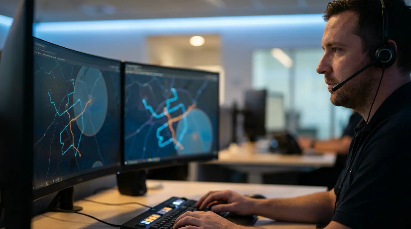
- Circular zones are defined by a center point and a radius. Fast to create, fine for a depot in an open area, and a problem anywhere a highway runs close to the site, because passing traffic triggers false entries.
- Polygon zones trace the actual shape of the location. They take longer to draw and are the correct choice for urban terminals, where the platform area sits meters away from a public road.
- Corridor zones follow the authorized route itself, flagging any movement outside the approved path. This is the one that matters most in intercity service and the one operators configure least.
- Temporary zones cover roadworks, events, landslides or seasonal detours, and expire automatically so the map does not fill up with obsolete boundaries.
What geofencing solves for a bus operator
Freight fleets use geofences to cut detention time. Passenger operators have a different list.
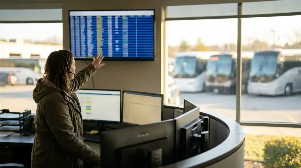
Departure compliance. A zone around the terminal records the exact minute each coach left. Over a month you stop arguing about whether the 22:00 service leaves late and start looking at how often, on which route and under which dispatcher.
Authorized boarding points. Every commercial stop on the route becomes a zone. A stop inside the zone is normal operation. A stop outside it, on the shoulder, is an exception that somebody has to explain.
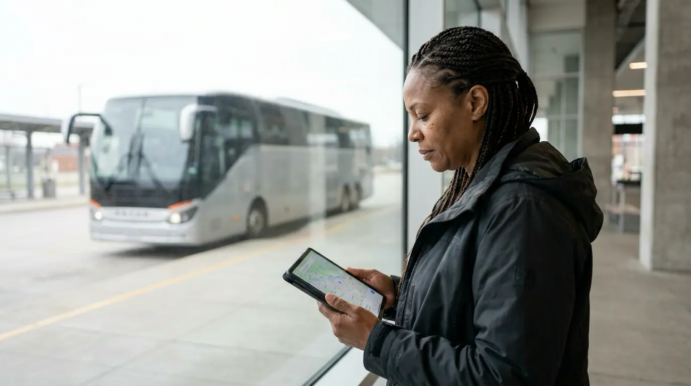
Arrival visibility. When a coach enters the zone around the destination terminal, the arrival is logged automatically and staff can prepare the platform. The counter stops answering the question of where the bus is by calling the driver.
Dwell time at the depot. A unit sitting in the yard longer than planned is idle capital. Dwell alerts surface that pattern without anyone walking the yard with a clipboard.
Restricted areas. Zones over weight restricted bridges, banned urban streets or high risk stretches flag a coach before it enters, not after a fine arrives.
Evidence for claims. A timestamped record of where a unit was, and when, settles disputes with insurers, passengers and authorities that would otherwise come down to one person’s word.
The revenue leak nobody advertises
There is one use case that vendor blogs never mention because it does not exist in freight: tickets sold outside the system.
In intercity passenger transport, a coach that stops on the road to pick up a passenger who pays cash to the crew produces revenue that never reaches the company. The seat is occupied, the fare is collected, and nothing appears in the ticketing report. The operator only notices when the load factor on a route stops matching the money.
Geofencing does not catch the cash. It catches the stop. When every authorized boarding point is a zone and the route itself is a corridor, an unscheduled halt outside those zones becomes a logged event, complete with location and duration. Cross that event against the passenger manifest for that departure and the discrepancy becomes visible.
This is not a hypothetical concern. Academic work on abnormal stop detection in intercity coach transportation frames unauthorized stops as a problem of passenger safety, operational reliability and regulatory compliance at once, and notes that sparse GPS sampling is precisely what hides short stops from view. The practical takeaway for an operator is the same one from the section above: reporting interval and buffering are not technical trivia, they decide whether the system sees what you need it to see.

Geofencing versus GPS tracking
Operators often tell us they already have this because they already have GPS fleet tracking. The two are related but they solve different problems.
Tracking is continuous and passive. It produces a stream of positions that a human has to watch or query. Its value depends entirely on somebody being at the screen at the right moment.
Geofencing is discrete and active. It produces events that exist whether or not anyone was watching, and those events can be counted, reported and compared month over month. That is what turns location data into a management indicator instead of a live map that nobody opens after the first week.
Setting up zones without creating alert fatigue
The fastest way to kill a geofencing rollout is to configure every zone with every alert on day one. Within a week the operations team receives hundreds of notifications, stops reading them, and the investment is written off as noise.
A rollout that survives contact with the operation looks like this:
- Start with three zone types: origin terminals, destination terminals and depots. Nothing else.
- Log before you alert. Run the first two weeks in silent mode, collecting events without notifying anyone, to learn what normal looks like on each route.
- Set thresholds from that baseline. If coaches routinely spend twelve minutes in the terminal zone, a dwell alert at fifteen minutes is signal and an alert at five is noise.
- Assign an owner per alert type. An alert that reaches everybody reaches nobody. Departure delays go to the dispatcher, unauthorized stops go to operations, restricted zone entries go to the supervisor.
- Add corridor and stop zones last, once the team trusts the first alerts and acts on them.
Review the event history weekly, not daily. The individual alert matters less than the pattern it belongs to: the same route, the same shift, the same driver, three weeks in a row.
Mistakes that make geofencing useless
- Circles over urban terminals. A radius wide enough to cover the platform area also covers the avenue outside, so every passing vehicle in your fleet registers a false entry. Draw a polygon.
- Zones nobody maintains. Routes change, agencies move, seasonal stops close. A map full of boundaries that no longer exist trains the team to ignore all of them.
- Alerts without a procedure. Knowing that a coach stopped for nine minutes on the shoulder is worthless if there is no defined step for what happens next.
- No link to the schedule. A departure event means nothing on its own. It only becomes useful when the system compares it against the scheduled departure for that service.
That last point is the structural one. A geofence event tells you what the vehicle did. Your operating system holds what the vehicle was supposed to do. If those two live in separate platforms, somebody spends the morning comparing screens, and that comparison stops happening the first busy week.
What to ask before you buy
Quotes look alike. These questions separate them:
- What is the reporting interval, and can it be configured per route?
- Does the device buffer positions when there is no cellular coverage, and for how long?
- Can zones be drawn as polygons and corridors, or only as circles?
- How long is event history retained, and can it be exported?
- Is there an API to connect events to the system that holds schedules, drivers and tickets?
- Who is notified when a device stops transmitting, and within what timeframe?
The fifth question decides whether geofencing becomes an operational tool or a second screen. Location data that cannot reach your scheduling and ticketing layer will always require a person in the middle.
If your coaches already transmit their position but that information never meets your departures, your manifests or your maintenance plan, you are paying for data that does not work. The QuatroBus platform connects fleet tracking with scheduling, ticketing and parcel operations in one system, so a boundary event lands next to the service it belongs to instead of in a separate dashboard.